
Abigail Ostriker's research bridges environmental economics and public policy, focusing on how individuals and institutions respond to environmental risks.
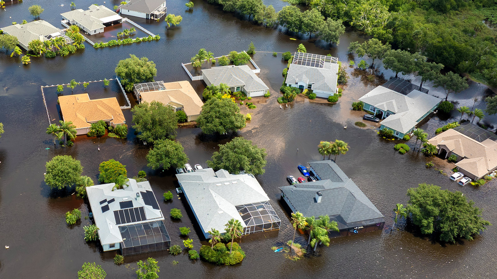
In The Effects of Floodplain Regulation on Housing Markets, Ostriker and co-author Anna Russo examine how land-use regulations in flood-prone areas influence both the location and design of new housing. Using detailed data on housing markets and floodplain boundaries, they assess whether these regulations effectively reduce flood damage by encouraging safer construction or deterring development in high-risk zones. Their analysis balances the protective benefits of regulation against potential costs, such as reduced housing supply or increased prices.
From a research computing standpoint, the study showcases the integration of geospatial data, housing market records, and policy overlays—requiring sophisticated data processing and econometric modeling. The authors say they appreciated using the MGHPCC for analysis of large, granular, spatial data, including 30x30m land use data and digitized flood maps. “It has been particularly useful for allowing us to overlay these datasets with each other and calculate distances between grid cells and flood zone boundaries, which is the centerpiece of our main empirical analysis. Indeed, our main analysis dataset has 41 million observations in it, which would have been prohibitive to analyze without the MGHPCC's resources,” says Ostriker.
In a related paper that also used MGHPCC servers to analyze flood maps, the pair find that the boundaries of designated flood zones have become more irregular over time. Both existing and new development predict more irregularity, suggesting that petitions from homeowners led to regulatory exemptions. However, more irregularity is not associated with higher flood adaptation, indicating that these carve-outs do not reflect reduced risk.